3D Scanning · LiDAR
LiDAR Scanners
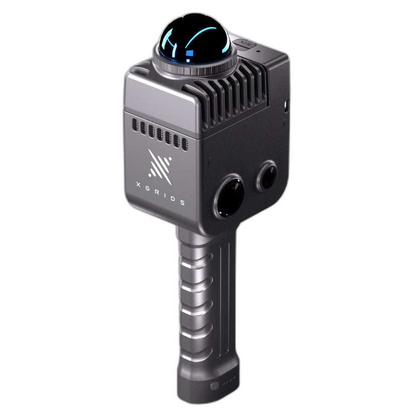
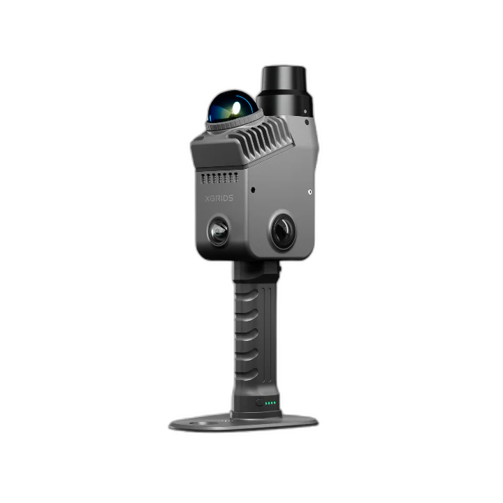
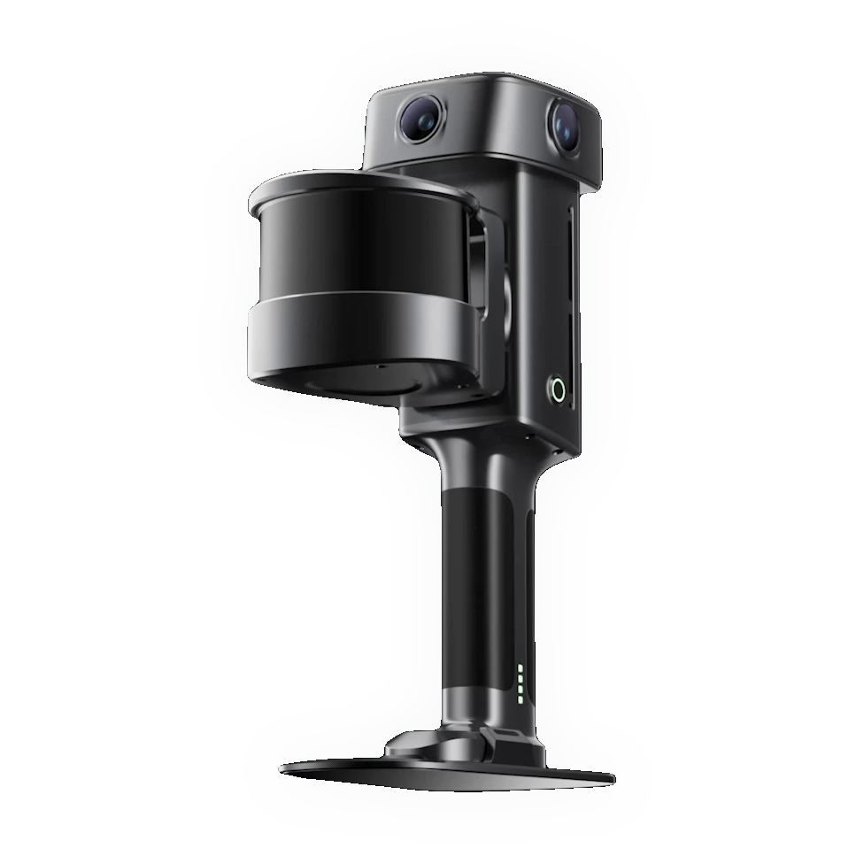
LiDAR scanners — laser-based capture of large environments, spaces, and terrain for surveying, construction, and reality capture at scale.
Long rangeLarge environmentsSurveying & AECPoint clouds
5 products
Brands: XGRIDS
Ships from Auburn Hills, MI


What is LiDAR scanning?
LiDAR (light detection and ranging) measures distance with pulsed laser light to build dense point clouds of large spaces — buildings, sites, and terrain. It's the tool for surveying, construction (AEC), and reality capture where the subject is far bigger than a single part.
LiDAR vs part scanners
LiDARLong range, whole rooms/sites/terrain — surveying and AEC.
SLAM LiDARWalk-through mobile mapping with real-time registration.
Part scannersSub-millimeter capture of individual objects.
Where LiDAR fits
- As-built documentation and BIM for construction.
- Site surveying, topography, and volume measurement.
- Reality capture for VFX, heritage, and facilities.
LiDAR, supported in the USA
Rev1 sells and supports LiDAR and mobile-mapping systems. Rev1 Technologies is your US reseller and support partner in Auburn Hills, Michigan — real people who use this gear, fast domestic shipping, no customs wait. Use the brand filter to narrow the range, or call (248) 707-2950 for help choosing.
Browse subcategories