Turn scan data into something people can actually look at.
Rev1 Technologies converts 3D scan, LiDAR, and CAD data into usable visual deliverables — colourised point clouds, photoreal scene reconstructions, as-built digital twins, walkthroughs and flythroughs, and BIM/AEC-ready models.
A raw point cloud is millions of coordinates. On its own, it doesn't help the person who has to approve the layout, brief the trades, or explain the asset to a stakeholder. Our job is the step in between: capture the space, clean the data, and hand back something that opens, spins, and reads clearly.
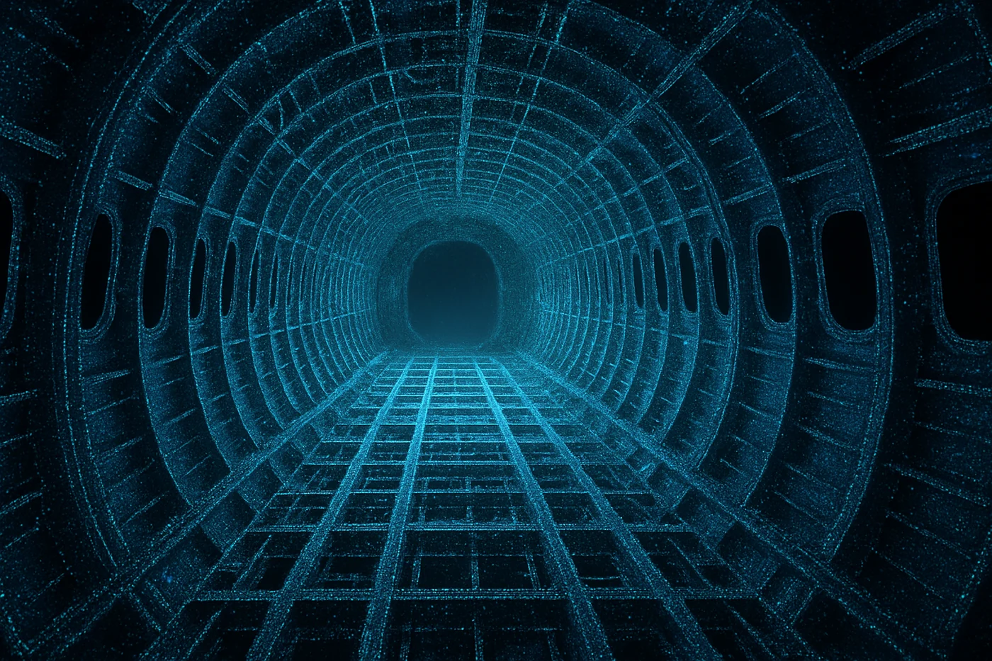
Have a facility, a site, or a scan file to visualise?
Send us the space or the data — existing scans, LiDAR, photogrammetry, or CAD — and we'll come back with a capture and visualisation plan, the deliverable formats, and a scope.
The data is only worth what you can do with it.
Reality capture produces enormous datasets. Left in their raw state they sit on a drive, open slowly, and get looked at by exactly one person. Visualisation is the work of turning that dataset into a deliverable your whole team — and your client — can open and understand.
- Decisions on real geometry — review what is actually there, not what the drawing said.
- Fewer site visits — revisit the space from a desk instead of driving back to it.
- Shared understanding — engineers, trades, and non-technical stakeholders looking at the same thing.
- A permanent record — the as-built condition, captured at a point in time.
Capture and visualisation are two halves of the same job. If you need the measurement side — inspection, GD&T, dimensional reporting — that lives on our 3D scanning & metrology service.
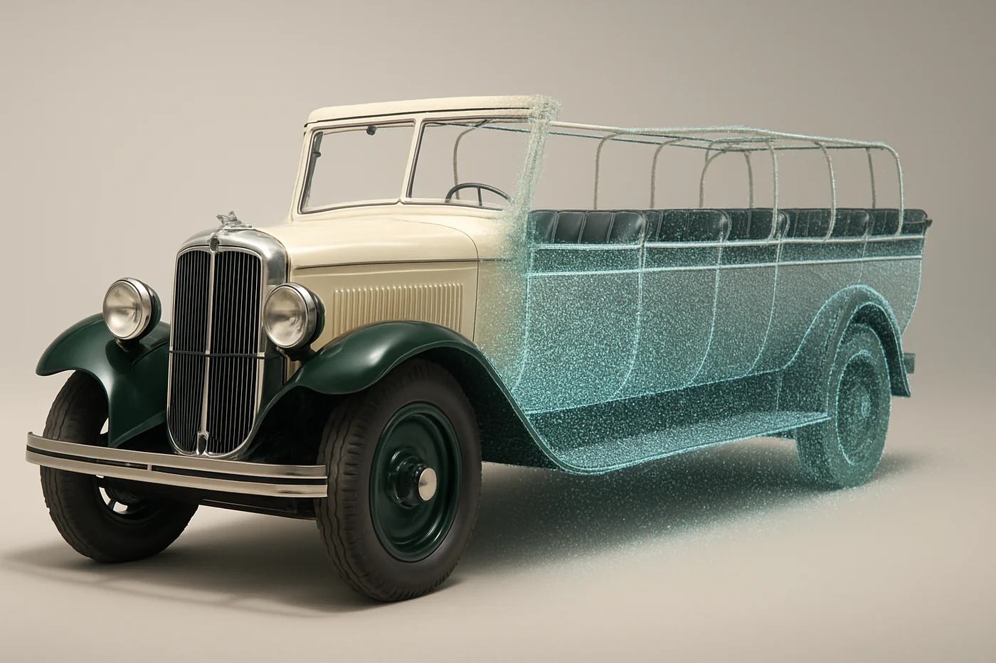
From point cloud to presentable, across the formats you actually use.
Engage us for a single deliverable or the whole chain — capture, processing, reconstruction, and output. Each capability stands alone and feeds the next.
Colourised point clouds
Registered, cleaned, and colour-mapped scan data you can navigate.
- Registration & alignment of multiple scans
- Noise and stray-return cleanup
- RGB colourisation from capture imagery
- Decimated review versions for lighter machines
Photoreal scene reconstruction
Gaussian-splat and mesh reconstruction for scenes that read as real.
- Gaussian-splat scene builds
- Textured mesh generation
- Interior and exterior environments
- Smooth navigation of large scenes
As-built digital twins
A measured, visual record of a plant, facility, or site as it stands today.
- Plant & production-floor capture
- Facility and building interiors
- Equipment and utility runs in place
- Baseline for retrofit and layout planning
Walkthroughs & flythroughs
Guided motion through the captured scene, rendered for review.
- Interior walkthrough paths
- Aerial-style flythroughs of a site
- Fixed viewpoints for repeat comparison
- Video output for meetings and reviews
BIM & AEC deliverables
Scan data prepared for the architecture and construction workflow.
- Scan-to-BIM source preparation
- Registered clouds for Revit-side modelling
- As-built vs. design comparison
- Coordinate-system alignment to site control
Engineering renderings from CAD
Clear technical visuals built from your native models.
- Assembly and exploded views
- Sectioned and cutaway visuals
- Component callouts for documentation
- Consistent visuals across a product family
Mesh & model preparation
Turning captured geometry into something downstream tools accept.
- Meshing from registered clouds
- Hole filling and surface repair
- Decimation for viewer performance
- Export to common exchange formats
Existing-data rescue
You already have scans. They just aren't usable yet.
- Re-registration of misaligned datasets
- Cleanup of noisy legacy captures
- Format conversion and re-export
- Assessment of what the data can support
Capture equipment & software
If you'd rather own the workflow, we sell it and support it.
- XGRIDS Lixel L2 Pro
- XGRIDS Lixel Kity K1
- XGRIDS PortalCam
- LixelStudio and Lixel CyberColor (LCC)
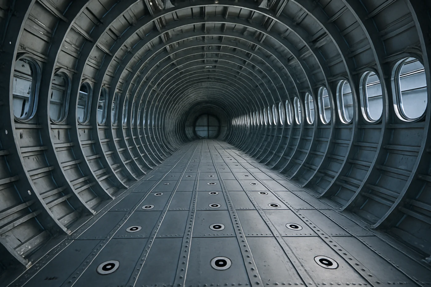
Point clouds show you geometry. Reconstruction shows you the place.
A point cloud is honest but abstract — it reads as a cloud of dots until you know how to look at it. Gaussian-splat and textured-mesh reconstruction close that gap: surfaces look like surfaces, materials look like materials, and the scene reads as somewhere you've stood.
- Gaussian-splat scenes — photoreal reconstruction from captured imagery and LiDAR.
- Textured meshes — when a downstream tool needs real surface geometry.
- Hybrid delivery — the splat scene for review, the cloud for measurement.
- Built in LCC — we use XGRIDS Lixel CyberColor, the same software we sell and support.
This is where a capture stops being an engineering artefact and becomes something you can put in front of a room.
Capture the plant as it is — not as the drawings claim.
Facilities drift. Equipment moves, conduit gets rerouted, a line gets rebuilt around a constraint nobody documented. When you plan a retrofit against a decade-old layout, that gap is where the surprises come from. A LiDAR-SLAM capture gives you the current condition, measured, in one pass.
- Production floors & plants — machine positions, clearances, and access as they stand.
- Facilities & building interiors — structure, services, and circulation captured together.
- Retrofit & layout planning — check a new cell fits before it's ordered.
- Change comparison — recapture later and compare against the earlier baseline.
Handheld and mobile SLAM capture means we walk the space rather than setting up a tripod at every station — which is what makes capturing a whole facility practical instead of theoretical.
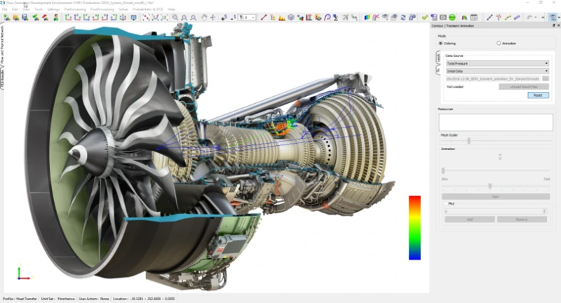
What you actually receive.
We agree the output format up front, because it drives how the data gets captured and processed. Common deliverables:
We don't just run the software. We sell and support it.
Rev1 supplies XGRIDS LixelStudio and Lixel CyberColor to other teams. We work in these tools daily, on our own projects and on our customers'.
The same team walks the site and processes the data, so problems get caught while we're still standing in the building.
We come from metrology and manufacturing. We understand what a tolerance means and why a clearance matters — not just how to make a scene look good.
Deliverables are agreed before capture and exported to what your downstream tools actually accept.
Scanning, visualisation, CAD, simulation, and manufacturing sit under one roof in Auburn Hills, Michigan.
NDAs are standard. Your site data, models, and reconstructions remain your property.
From the space to the deliverable.
Define the output
We start at the end — what you need to be able to see, measure, or show. That decides the capture method.
Plan the capture
Site access, scan paths, control points, lighting, and coverage. Missing a corner is expensive to fix later.
Capture
Handheld or mobile LiDAR-SLAM capture of the space or object, with imagery for colourisation.
Process & register
Scans are registered, aligned to your coordinate system, cleaned of noise, and colourised.
Reconstruct
Splat scenes, meshes, or renderings are built from the processed data to match the agreed deliverable.
Deliver & review
You get the files in the agreed formats, and we walk through them with your team so nothing gets lost in handover.
Not everything starts with a scan.
When the geometry already exists as CAD, visualisation is a different job: making an assembly legible. Exploded views that show how it goes together, sections that show what's inside, callouts that let a technical document point at the right component.
- Assembly & exploded views — for manuals, service documentation, and training.
- Sections & cutaways — showing internal geometry that a photo never could.
- Proposal visuals — a clear picture of a part that doesn't physically exist yet.
- Consistent product families — the same treatment applied across a range.
These are engineering visuals, produced to communicate geometry accurately. If you need the model authored or repaired first, that's our engineering & product design service; if you need to know how it behaves under load, see simulation & engineering analysis.
Where reality capture earns its keep.
Industrial plants & manufacturing
As-built capture of production floors for retrofit planning, line moves, and equipment installation.
Architecture, engineering & construction
Scan-to-BIM source data, as-built verification, and progress capture across a build.
Aerospace & large structures
Capture of assemblies too large for a single fixture, delivered as navigable visual data.
Automotive & mobility
Vehicle, body, and facility capture for engineering review, restoration reference, and layout work.
Heritage & restoration
On a heritage vehicle restoration programme, capture preserves the original condition before work starts.
Facilities & asset management
A visual, measured record of what's installed — useful long after the person who built it has moved on.
Stop describing the space. Show it.
Whether it's a plant floor, a jobsite, a large assembly, or a CAD model that needs explaining — we'll turn it into something your team can open and understand.
The hardware and software behind the deliverable.
Rev1 is an XGRIDS supplier as well as a service provider — we sell, support, and use these tools. If you'd rather bring the capability in-house, we can quote the kit instead of the project.
Lixel L2 Pro
XGRIDS handheld LiDAR-SLAM capture unit.
- Walk-and-scan capture of interiors and sites
- Suited to facility and large-space work
- Feeds directly into the LixelStudio workflow
Lixel Kity K1
XGRIDS compact LiDAR-SLAM scanner.
- Portable capture for smaller spaces and objects
- Lightweight option for frequent site work
- Same processing pipeline as the rest of the range
PortalCam
XGRIDS capture device for imagery-driven reconstruction.
- Imagery capture to support photoreal scenes
- Pairs with LiDAR data for colourised output
- Built for the Lixel CyberColor workflow
LixelStudio & Lixel CyberColor (LCC)
XGRIDS processing and visualisation software.
- LixelStudio — point-cloud processing and registration
- LCC — photoreal scene reconstruction and viewing
- Licensing, onboarding, and support through Rev1
Visualization is one part of the chain.
Most projects touch more than one of these. They're run by the same team, in the same building.
3D Scanning & Metrology
Dimensional inspection, GD&T reporting, and metrology-grade capture — where the numbers matter as much as the picture.
Explore scanning →Engineering & Product Design
Parametric CAD, reverse engineering from scan data, and design-for-manufacture — turning captured geometry into a real model.
Explore design →Simulation & Analysis
Structural FEA, CFD, thermal, and durability studies — for when you need to know how it behaves, not just how it looks.
Explore simulation →3D visualization — common questions.
What exactly do I get at the end?
Whatever we agree at the start — a registered colourised point cloud, a Gaussian-splat scene, a textured mesh, a walkthrough or flythrough video, a BIM-ready dataset, or renderings from your CAD. We settle the format before capture, because it changes how the capture is done.
What's the difference between this and 3D scanning?
Scanning is the capture and the measurement. Visualisation is what happens to that data afterwards — making it navigable, photoreal, or presentable. Our 3D scanning & metrology service covers the inspection side; this page covers the visual deliverable.
Can you work with scans I already have?
Usually, yes. Send us a sample and the format, and we'll tell you honestly what it can support — sometimes existing data just needs re-registration and cleanup, and sometimes recapturing is the better answer.
What is a Gaussian splat, in plain terms?
It's a reconstruction method that produces a scene which looks photographic as you move through it, rather than a cloud of dots or a flat-shaded mesh. It's well suited to showing a space to people who don't read point clouds for a living.
Can you capture a whole facility?
That's a common request. Handheld and mobile LiDAR-SLAM capture is designed for walking a space rather than setting up at fixed stations, which is what makes larger sites practical. Scope depends on the site, the access, and the level of detail you need.
Do you deliver into BIM and Revit workflows?
We prepare and align the scan data for scan-to-BIM work — registered, cleaned, and tied to your coordinate system so the modelling team can work from it directly.
Can I buy the equipment instead?
Yes. Rev1 supplies XGRIDS capture hardware — Lixel L2 Pro, Lixel Kity K1, and PortalCam — along with LixelStudio and Lixel CyberColor software, with support. Plenty of customers start with a service project and bring it in-house once the workflow proves out.
How do you handle confidentiality?
NDAs are standard and confidentiality is the default. Site captures, models, and reconstructions remain your property, and we don't publish customer work without written permission.
For immediate assistance:
(248) 707-2950