


Your cart is empty
You may check out all the available products and buy some in the shop
Return to shop
Leaders in 3D scanning and printing. Proudly featuring CreatBot, Shining 3D, Einscan, Artec 3D, and HeyGears Resin Printers


 Extra $30 off code: WINTER
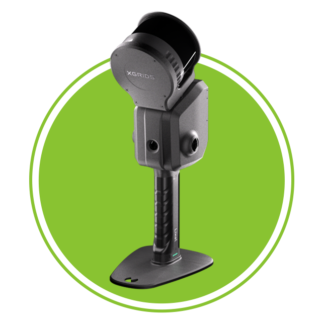
  Product Details Product Details