The Lixel L2 (16/120 version) is a state-of-the-art 3D scanning and reconstruction device, seamlessly combining LiDAR, triple color cameras, high-precision inertial navigation, and a powerful onboard computer. With real-time data capture and modeling, it produces true-color point cloud models with centimeter-level accuracy, making it an essential tool for professionals across various industries.
Lorem ipsum dolor sit amet, consectetur adipiscing elit. Ut elit tellus, luctus nec ullamcorper mattis, pulvinar dapibus leo.
Enhanced structural stability for extended operations.
Professional-grade data collection with long-range precision.
Expanded color spectrum for vivid, true-to-life point clouds.
Ensuring exceptional accuracy across multiple parameters, even in demanding environments:
Powered by cutting-edge hardware and proprietary algorithms, the Lixel L2 renders highly realistic point clouds, comparable to vivid photographs with exquisite details.
Point cloud thickness within 1cm for superior clarity.
Significant noise reduction, delivering crisp, accurate data.
Even, well-balanced point distribution for precise measurements.
Upgraded Multi-SLAM Algorithm with newly integrated RTK real-time participation ensures exceptional performance in challenging environments.
Triple Positioning Perception – Combines Laser, Vision, and Satellite data.
Fearless in Repetitive Environments – Maintains stability even in degraded or complex settings.
One-Screen Control, One-Click Operation – Simplifies the scanning workflow.
Comprehensive RTK Settings & Breakpoint Rescan – Minimizes data loss.
Real-Time Monitoring – View camera images, elevation data, and true-color point clouds.
Full System Status Display – Monitor battery, network, memory, and scanning range.
Unlock the full potential of your 3D data with advanced processing, visualization, and analysis tools.
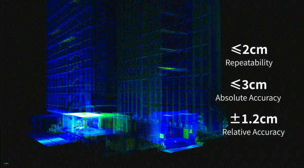
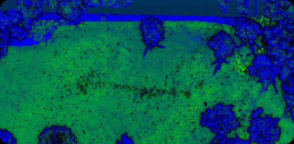
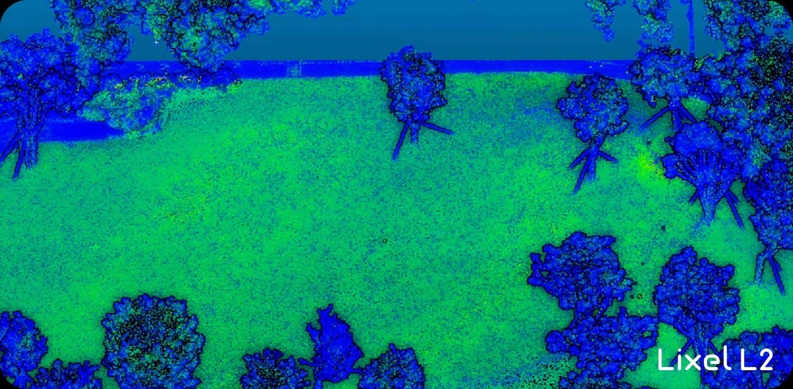
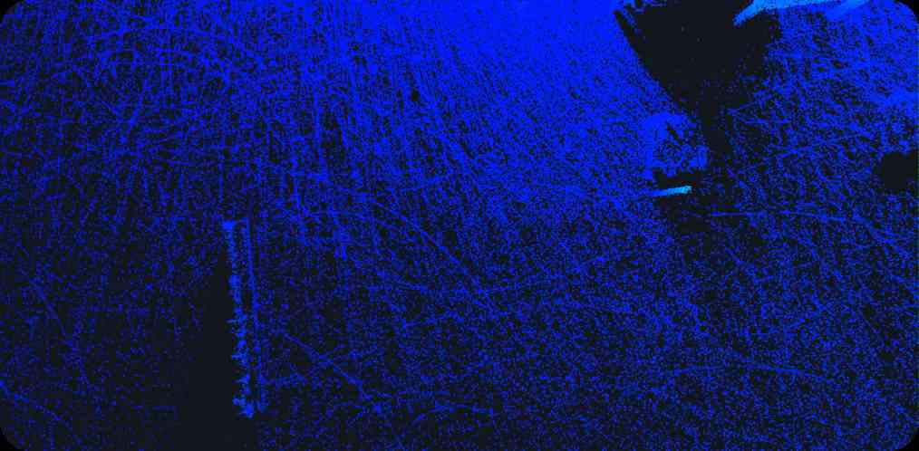
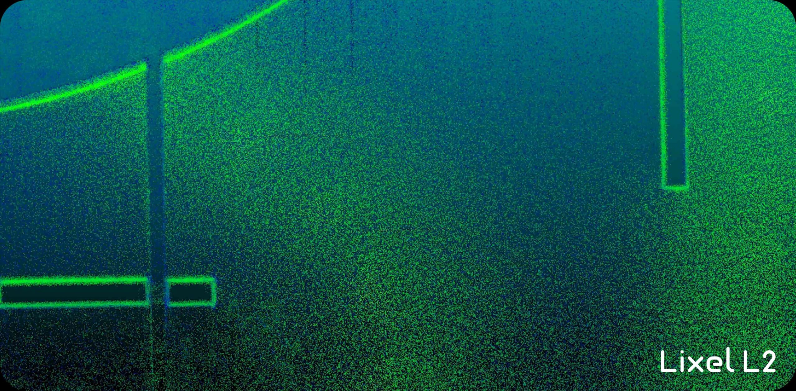
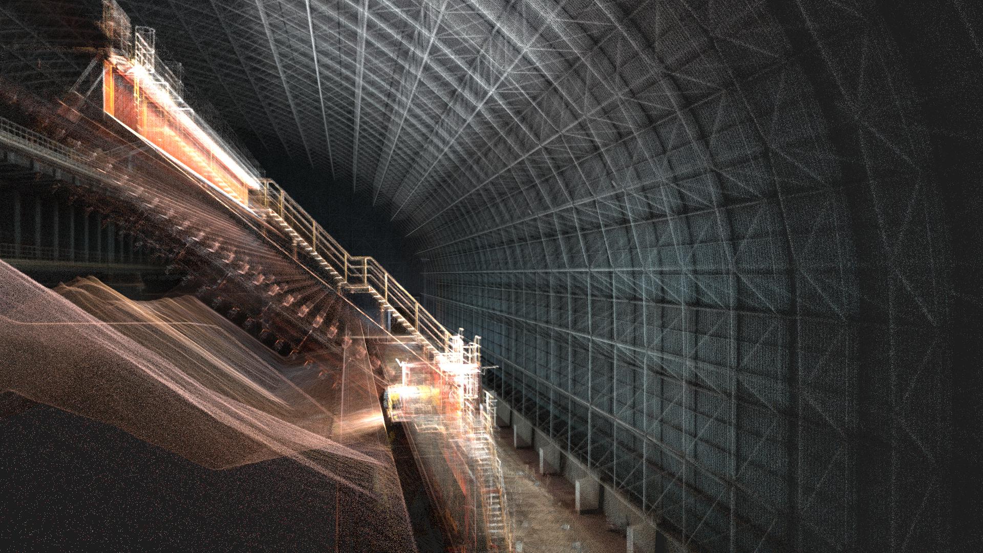
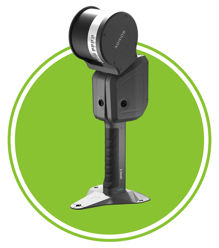
Capture detailed land contours.
Monitor land, vegetation, and ecosystems.
Optimize urban planning and infrastructure.
Conduct precise site analysis and surveys.
Experience the power of real-time, true-color 3D scanning with Lixel L2!
You may check out all the available products and buy some in the shop
Return to shop